
Good day friends. How is it going? Has the heat melted you into a pool of human slush or do you have air conditioning (if the latter, DM me)? Today I’m continuing from last week where I will focus on another segment of railway which served the bauxite/alumina industry. The Port Esquivel to the Kirkvine line. Ok, to be clear this isn’t an active line, technically it is, but there hasn’t been active train service on it since 2009. Because service was discontinued relatively recently, it is very likely that with a little work, regular service can return to this segment of railway. Even if massive work is needed, it would be easier to revive this line than any other inactive one. So what was it like when it was active and why did it stop? History time!
The 1885 expansion

Map of the Jamaica Railway. Green and magenta covers lines in previous articles. Navy blue covers the route for this article
I mentioned this before in the previous article, but a little revision doesn’t hurt. After the Jamaica Government took ownership of the railway network in 1879, plans were put in place to expand the passenger network of the railway with 2 expansions. One north from Spanish Town to Ewarton and one west from Old Harbour to Porus. The Porus expansion took the railway from St Catherine into, and across Clarendon with railway stations at May Pen, Four Paths, Clarendon Park and the terminal station at Porus. There were also halts at Inverness (which may have been a railway station), Sandy Bay and Lancaster. Of course, I made no effort to look for these halts as usual.
May Pen

Postcard showing May Pen Railway station in what looks like the 1940’s-1950’s
May Pen Railway Station has had an interesting evolution, starting from just a passenger stop for Clarendon’s capital city and then morphing into a major railway crossroad. Between 1911 and 1925 a branch line ran north along the Rio Minho valley up to Frankfield in Northern Clarendon with an aim to stimulate the region’s agriculture industry. A junction was also established nearby at Denbigh to connect a branch from the US Air Force base at Vernamfield to the JRC network. Branches were later built on this junction to connect to the Pleasant Valley Bauxite mines north of May Pen and a port at Rocky Point on the southern end of the island. So what’s this grand intersection like now?
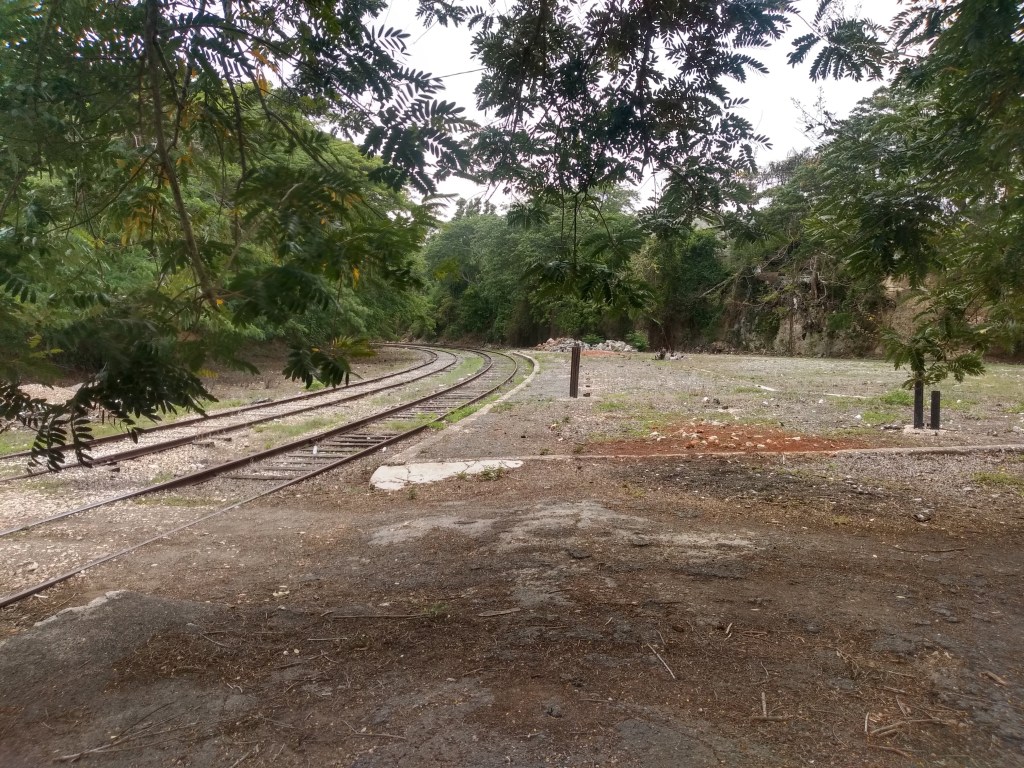
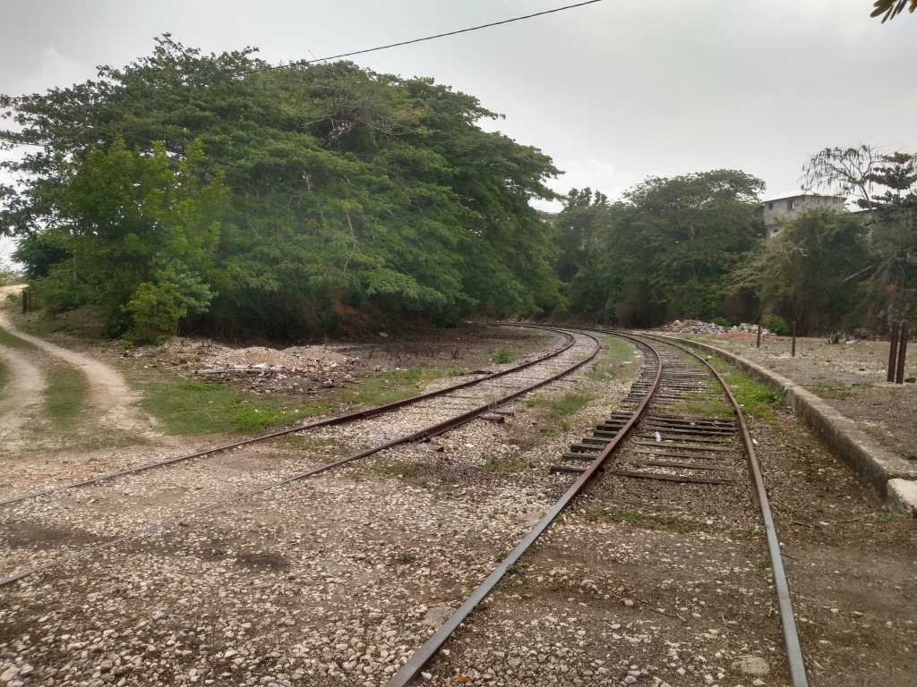
Tracks looking towards Denbigh 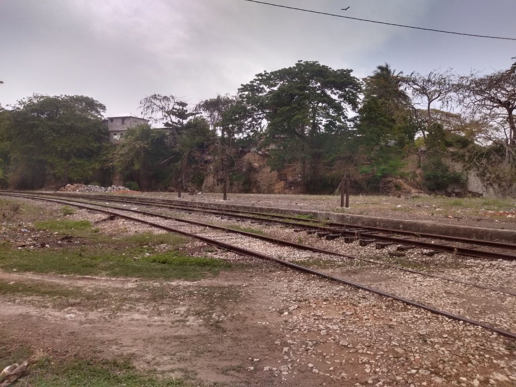
Remnants of the passenger platform 
Tracks that led to the long defunct Frankfield line 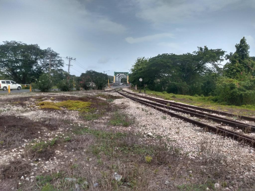

Rio Minho Bridge with railway embedded in the road
Not much eh? The railway station was demolished, why and when? I don’t know (as yet). What’s left is the railway itself, some of the branch lines leading to Frankfield and the concrete platform where the station stood. The iconic steel truss bridge over the Rio Minho also remains intact with rails still embedded in the road should a train ever wish to pass. When the railways were active, this bridge shared pedestrian, vehicular and rail traffic, establishing itself as THE gateway into May Pen. What’s sad is that only after I got home and did some more research on May Pen did I realize that the station yard had quite a lot more items than just a station and some rails. Much of the information I gathered regarding May Pen being a major crossroads in the railway network didn’t arise until after my visit. In my defense, I wasn’t initially planning to visit May Pen in the fist place since I knew its railway station was taken down. In the future I will definitely make a second visit to capture what I missed at the station alongside the abandoned Frankfield and Bauxite branches.
Four Paths
Railway side of the station. Single story segment, most likely was for freight 
Railway looking back to May Pen 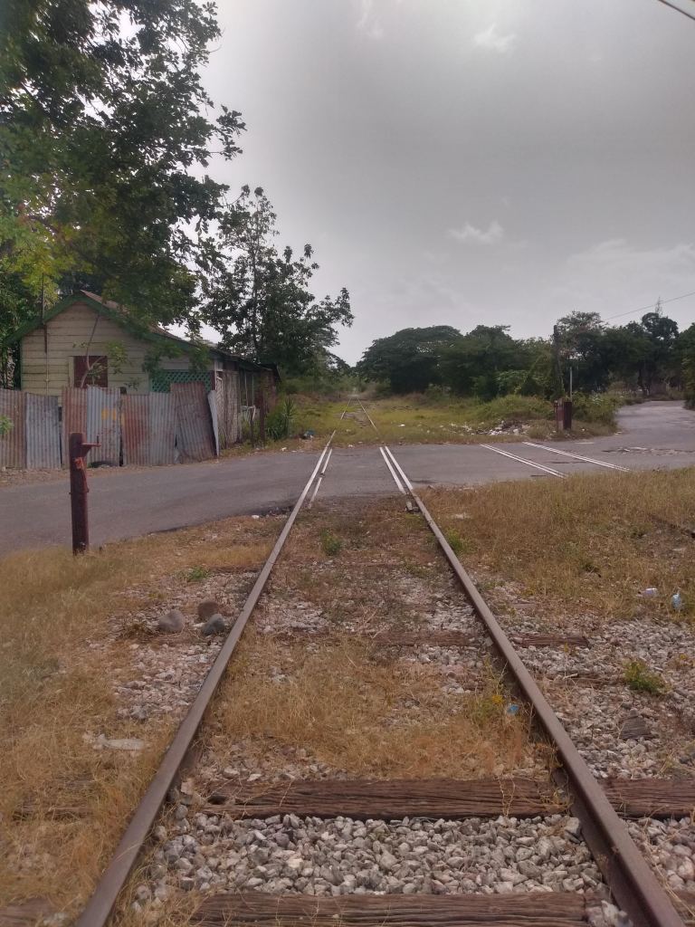
Level Crossing looking towards Clarendon Park 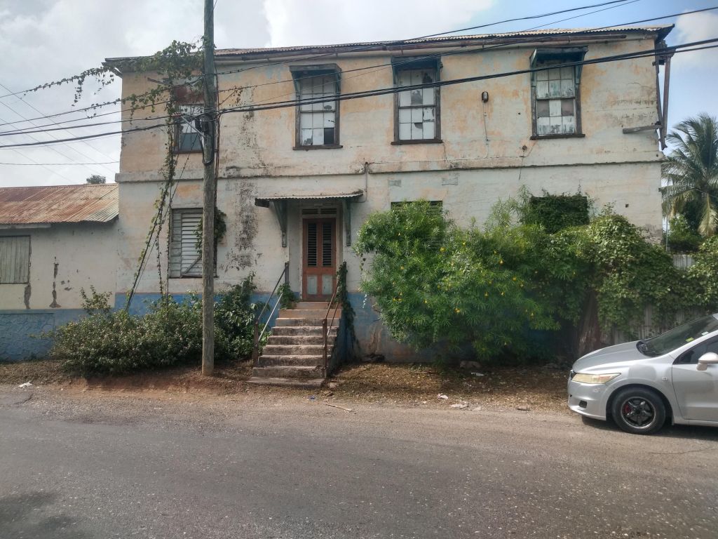
Elevation from Four Paths Main Road
There isn’t much on the Four Paths railway station. What I do know is that it was built during the expansion to Porus and not much else. What is interesting about it is its use of concrete throughout. Coupled with its Jamaican Georgian cues, it’s a balcony away from looking like a Mini Rose Hall from its street elevation.
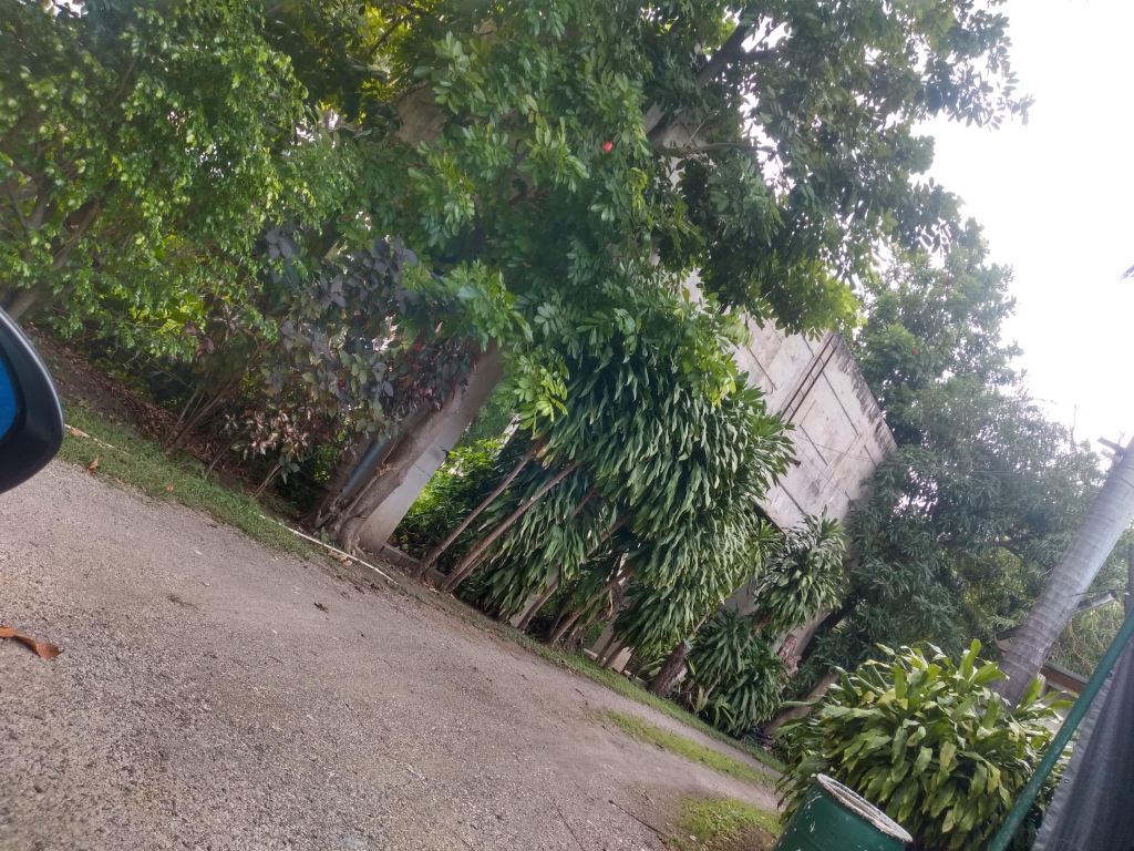
Clarendon Park
Water Tower 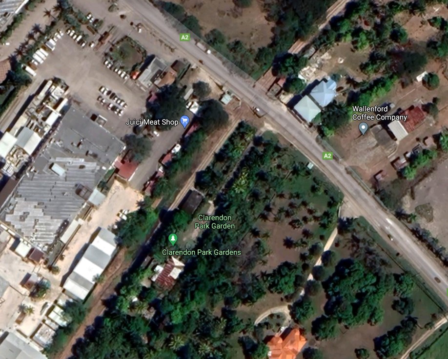
Google Maps image of Clarendon Park Railway Station and surrounding environs. It is difficult to discern if structures at Clarendon Park Gardens are new structures or remnants of the Railway Station
So, my great reference says that the Clarendon Park Railway Station exists yet I was struggling to find something here on my visit. I went in the general area of where I know the station is/was and discovered that the venue is now known as Clarendon Park Gardens, a venue used for conferences, weddings, etc. So while I did see items that were railway station-esque, I didn’t want to take any pictures without asking someone on the property first. What I did find that was clearly a remnant from the railway station was the water tower. They were common sights at railway stations island wide as they would have been used to replenish the water hungry boilers of passing steam locomotives. Maybe I make a return visit, maybe not. It is clear that even pushing out about 2,000 – 3,000 words per article, there’s still gaping holes I’m missing out on in regards to some of these stations that would need to be filled.
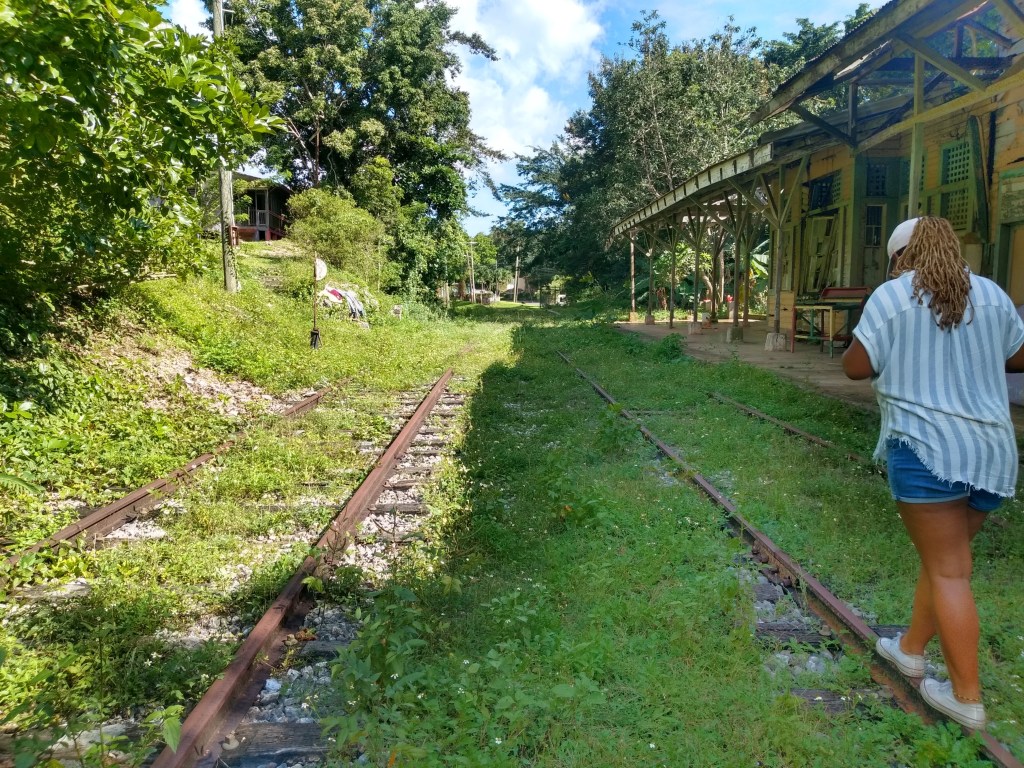
Porus
The 1885 expansion terminated at the Porus railway station. As a result Porus, like May Pen, was one of those railway stations with a bit more features than most. A turntable (which allows a locomotive to rotate 180 degrees) was one such component. Again, as in May Pen I forgot to look for this, but clearly my problem stems from visiting these sites and THEN reading up on it. I blame the spontaneity of my journeys (even if this outing was one of the few planned ones) and I cannot promise it will not happen again. The one image I got above was of a freight shed (I assume). It’s the main visible standing structure on the property (beside the adjacent small shops). This shed possibly also housed additional locomotives that could be added to the train so as to traverse the hills of Manchester. Just so we’re on the same track (pun intended) a locomotive is the unit of the train that powers it and moves it forward. Regular passenger service uses only one locomotive to carry about 10 or so cars. To go over the hills (which trains are really bad at doing by the way) an additional locomotive was needed to move those same 10 passenger cars. In comparison, the freight operation that runs out on the fairly flat route of Ewarton to Port Esquivel carries so much alumina that 3 locomotives are needed to carry these loads on the fairly level track.

Freight/Locomotive Shed 
Tracks leading back to Clarendon Park 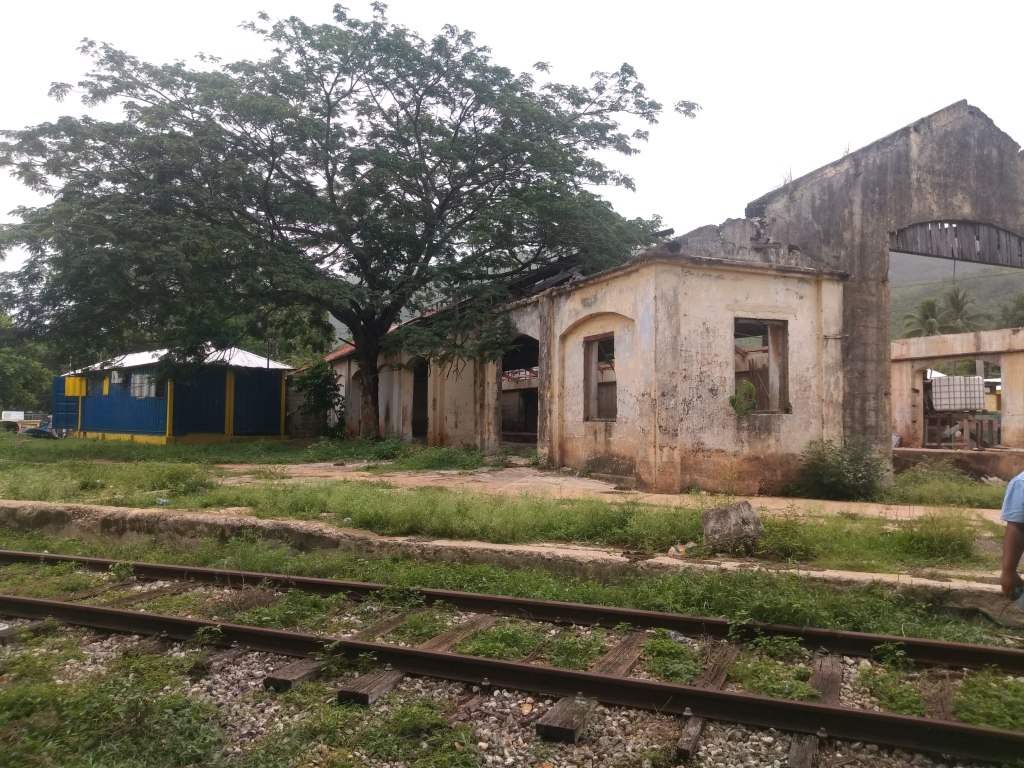
Platform adjacent to Freight Shed, I assume this was where passengers boarded 
Railway station from Porus main road with concrete support buttress shown
I think the Porus Railway Station had one of the greatest effects on me growing up. I regularly passed it on my way to family in Mandeville and for many years was the only railway station I saw. It was interesting just how reinforced the back wall was that faced the road. While I don’t think it ever happened, I always felt that they were worried about a locomotive bursting through like the Kool Aid man.
Leaving Porus, the railway traversed some noticeably hilly terrain to cross that beautiful lump in the middle of the island called Manchester. In 1890, ownership of the railway was transferred from the Government of Jamaica to American owned, West India Improvement Company. As part of the new ownership agreement, the government required them to undertake an expansion to Montego Bay and Port Antonio. The Montego Bay expansion would continue west from Porus through Manchester, onwards to St. Elizabeth and St. James. The first stop on this expansion was the Williamsfield railway station, completed in 1891.
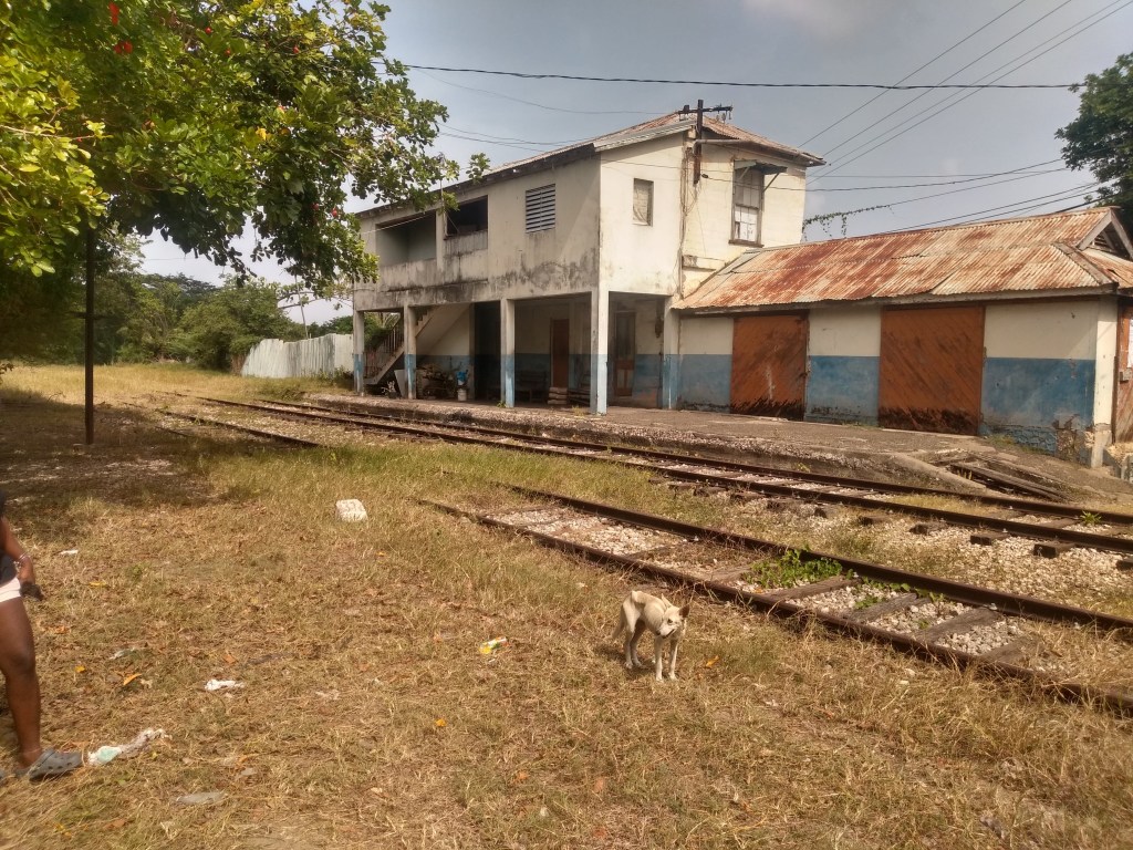
Williamsfield
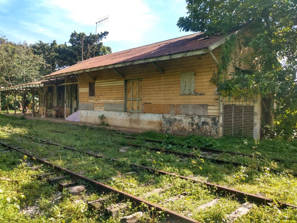

Water Tower at Williamsfield. Tracks looking towards Kendal 
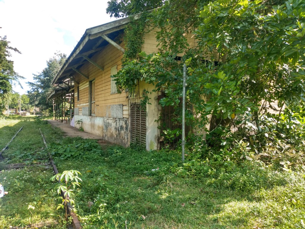
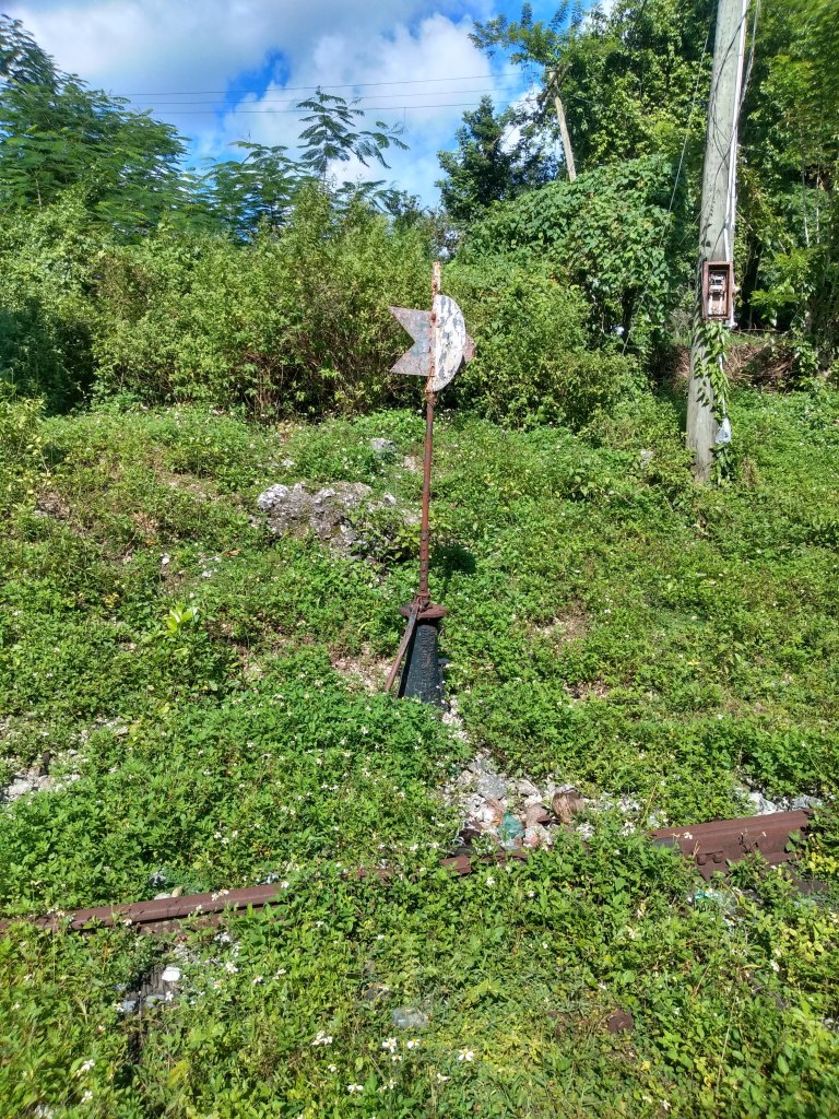
Railway switch 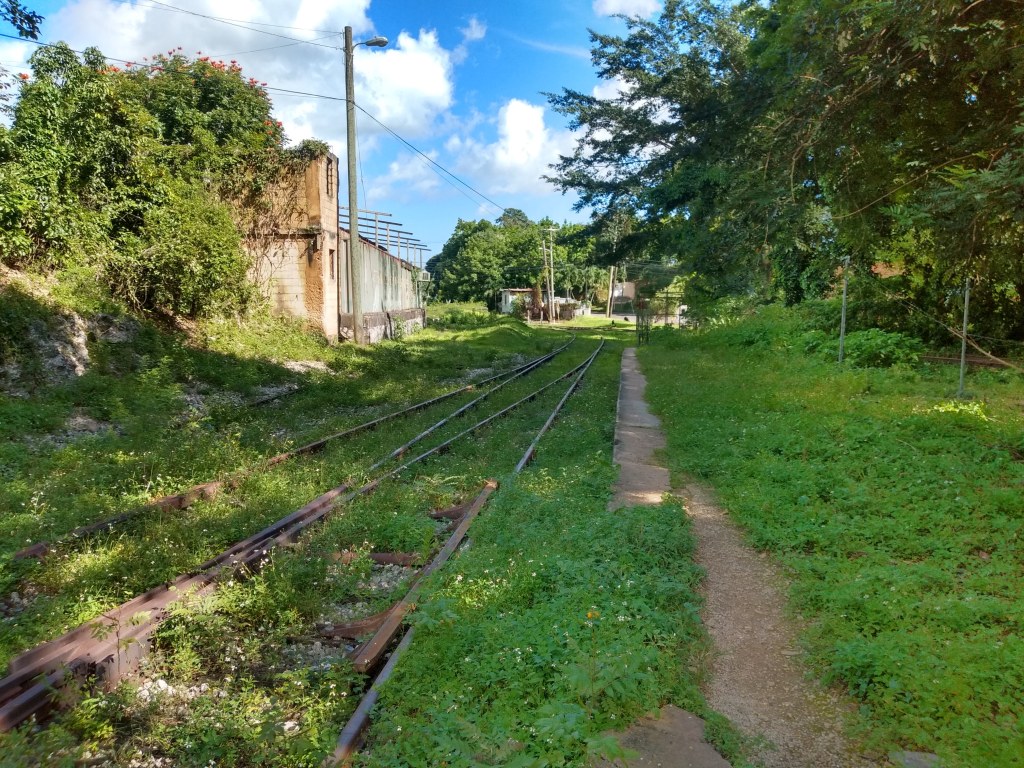
Tracks looking towards Porus 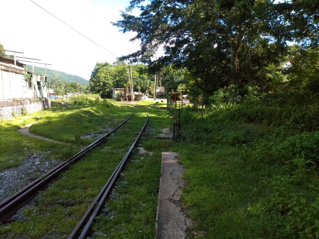
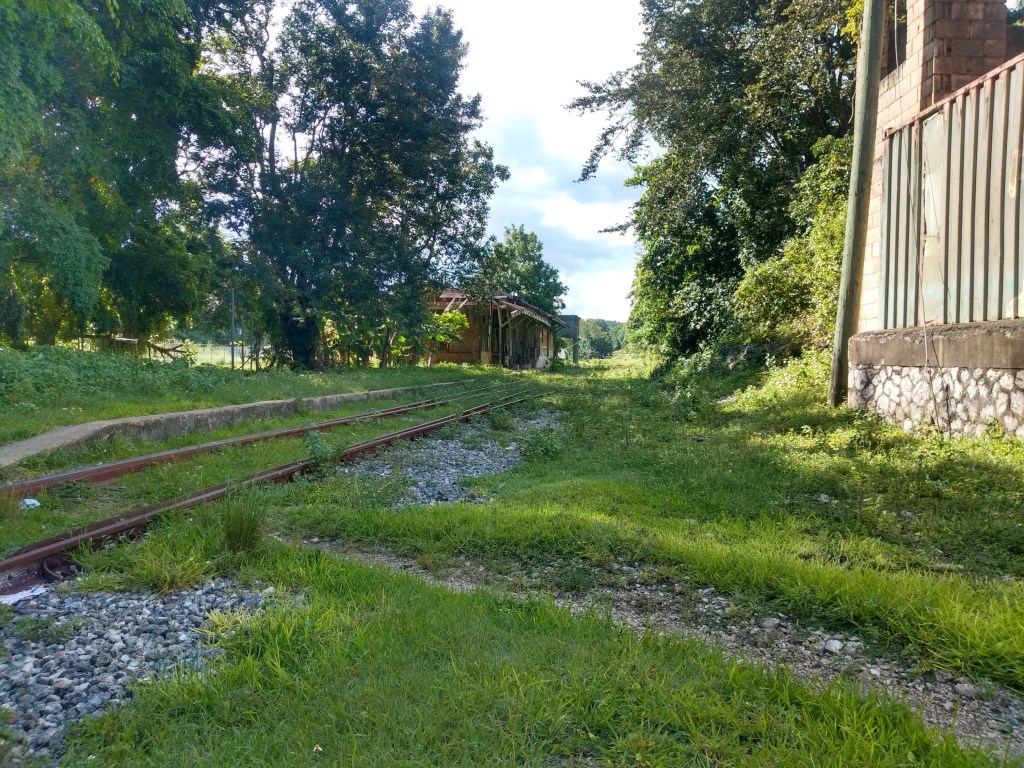
Williamsfield is so far the most remote railway station I’ve come across. Kirkvine’s shut down didn’t help to contribute to the town’s lack of activity. I actually began to like the serenity it offered. If you can remember back in my previous article I mentioned that the Linstead railway station had this yellow paint job in the past. This is the same color. I’m still kinda trying to figure out the meaning behind the colors, but as you can tell by now, I am very much a “let me do this and then figure it out” kind of person.
Kirkvine and beyond
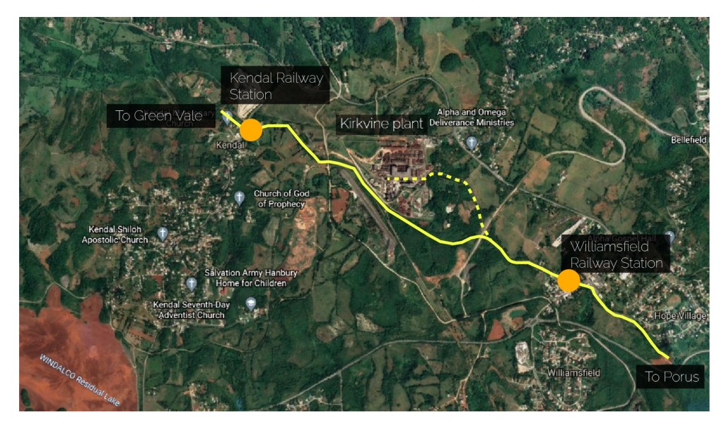
Image showing estimated path of the Kirkvine branch line from the main line
The Kirkvine mines in Manchester only just predate Ewarton with alumina production beginning in 1952 (as opposed to Ewarton’s 1959). Capacity was quickly ramped up over the following decade hiring numerous residents from the nearby communities of Kendal, Williamsfield, Mandeville etc. Like Ewarton, the mines were not too far from an existing railway and a branch line was established to connect to the existing railway network between the Williamsfield and Kendal railway stations. Access to the railway ensured that alumina could be transported easily on freight trains to Port Esquivel for export. These alumina trains ran alongside the existing, regular passenger service until passenger service came to a halt in 1992. After this, the Ewarton and Kirkvine mines were providing the majority of rail activity on the JRC’s network up until 2009 when the Financial Crisis forced Ewarton and Kirkvine to close their factories. Their shared owner, Windalco, instead of trying to reignite production in both mines, shifted all their focus on getting the Ewarton mines operational again. This makes sense especially since (according to them at least) Kirkvine was outdated and whatever minerals that were left to be mined there, weren’t worth as much as Ewarton’s reserves. Ewarton was reopened in 2010 while Kirkvine remains dormant to this day. The Kirkvine shutdown unfortunately resulted in over 1,000 persons losing their jobs, most of whom were upset that Ewarton was given preferential treatment over them. Sadly there are no plans to resume mining at Kirkvine.
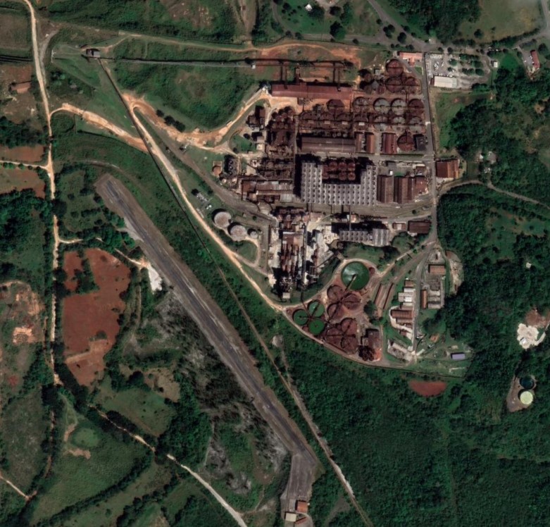
Kirkvine Alumina Plant
The railway continues west to Kendal on it’s way to Montego Bay. This segment will very likely be the next set of stations I look at, in particular Green Vale, Balaclava and Appleton. There is some significant history associated with this segment as well. Not exactly the greatest, most flamboyant, or vibrant pieces of Jamaica’s railway history, but if one were to look at where the beginning of the end of pedestrian service began, this line holds some of the answers
References
Giving up on Kirkvine – Jamaica Gleaner
Jamaica Bauxite Institute – https://jbi.org.jm/industry/bauxite-alumina-plants/
Horsford, J. (2010). Railways of Jamaica. Locomotives International
